


|
By clicking Subscribe, I agree to receive advertising and other marketing messages from TGI Source under the terms of the Privacy Policy and User Agreement. |
|
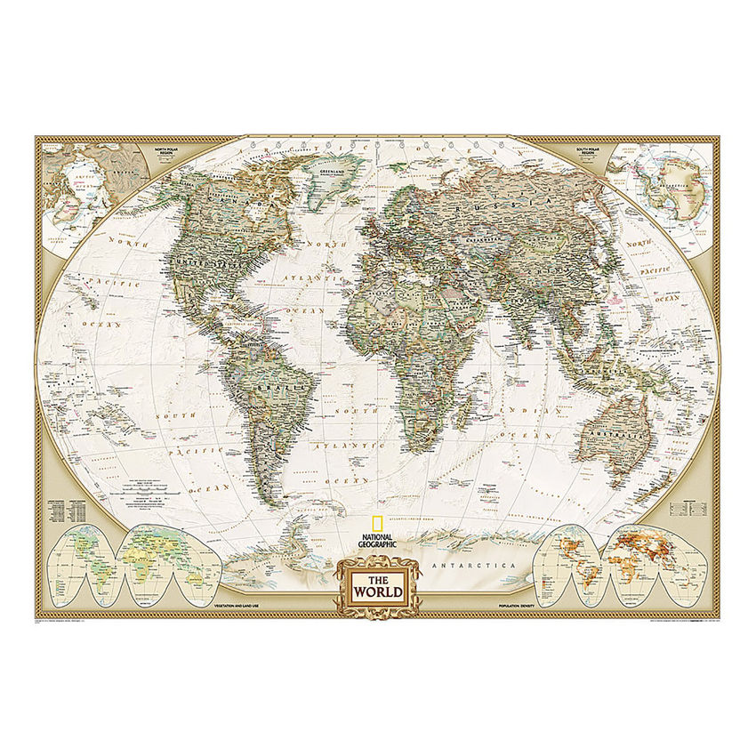
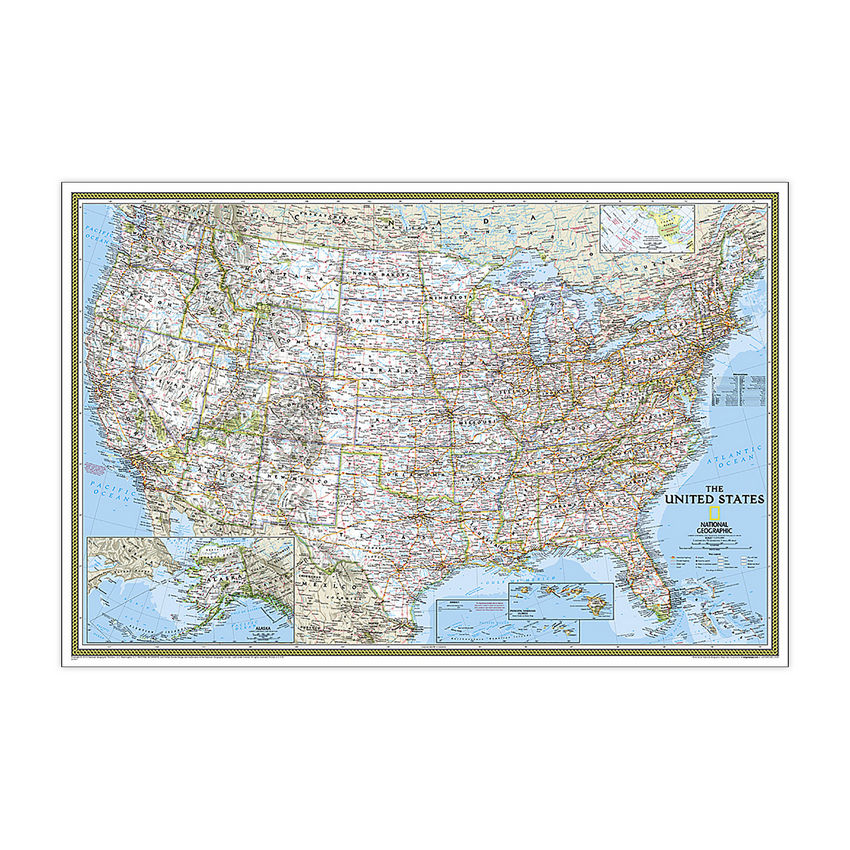
National Geographic World Executive Map, Mural, 110" x 76.5"
(Contains 1 Map) Assembly Required
| $124.95 |
- National Geographic World Wall Map - Executive is expertly researched and designed, National Geographic's World Wall Map is the authoritative map of the world by which other reference maps are measured.
- Antique-style "executive" color palette
- Thousands of place names carefully and artfully placed to maintain legibility in heavily populated areas
- Mural maps are printed on a tear-resistant, coated paper for strength, color protection, and long life. The coating resists dirt and dust and may be cleaned with a slightly dampened cloth. The mural can be hung using heavy duty (clay based) wallpaper paste.
- Measures 110" x 76.5"
Manufacturer:
National Geographic Maps
Item:
NGMRE00620092
UPC Code:
749717055063
Condition
New
$124.95EA
Availability
In Stock
You may be also interested
Product description
Expertly researched and designed, National Geographic's World Wall Map is the authoritative map of the world by which other reference maps are measured. Antique-style "executive" color palette. Background shows mountain ranges and valleys in subtle shaded relief with mountain ranges labeled. Major water bodies including rivers, lakes, glaciers, oceans, seas, gulfs, bays, straits, and bathymetry. Clearly defined international boundaries, cities, islands, airports, and physical features. Thousands of place names carefully and artfully placed to maintain legibility in heavily populated areas. Up-to-date international boundaries and territorial control reflect de facto status on the ground. Meticulously researched using multiple authoritative sources including the U.N., U.S. Board on Geographic Names, and policies of individual governments. Accurate place names use a combination of conventional English names, official national names, and standard transliterations for non-Latin alphabets. Drawn in Winkel Tripel projection with distortions minimized unlike other World maps (e.g. Greenland is shown the same size as Argentina, not South America). Corner inset maps feature vegetation, land use, population density, and north and south polar regions. Mural maps are printed on a tear-resistant, coated paper for strength, color protection, and long life. The coating resists dirt and dust and may be cleaned with a slightly dampened cloth. The mural can be hung using heavy duty (clay based) wallpaper paste.
Specifications
Weight
2.75
Age Group
14+ years
Assembly Required
Y
Battery Included
N
Classroom Grade
Grade 9+
Color
Multi
Country of origin
USA
Coverage Percent
110" x 76.5"
Device Types
1
Dimension Height
749717055063
Dimension Length
Maps & Map Skills
Dimension Weigth
38.00
Green Information
749717055063
Height
4.50
Length
38.00
Material
Paper
MSDS_Indicator
2.75
Operating relative humidity range
N
Post-Consumer Recycled Content Percent
Wall Reference Maps
Pre-Consumer Recycled Content Percent
9780792230342
Print technology
Y
Product Type
Maps & Map Skills
Quantity
USA
Recycled
14+ years
Total Recycled Content Percent
4905906008
Video
5.25
Width
5.25
Product ratings & Reviews
